Location, location, location. One of the most important factors for success in photography, and also one of the most difficult to plan. How can you find the perfect location for your next photo shoot? Whether looking to find a location down the road or one across the country, this list of tools is sure to help you locate your next go-to spot.
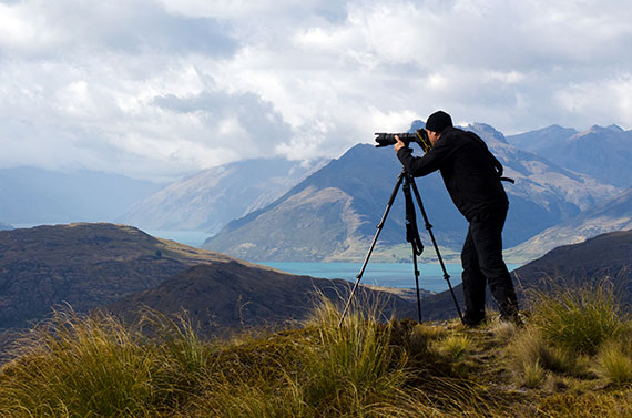
photo by Rafael Ben Ari
Smartphone Apps
Sometimes the answer is right at your fingertips. Mobile apps for both Android and Apple can be extremely useful for advanced planning and on the spot location hunting. Here are some great examples:
Really Good Photo Spot (RGPS). This app offers a great search database for spots that other photographers have tagged as interesting based on GPS location. The app even has a “find near me now” feature, which can come in handy when you’re on the hunt in a new locale. See a great sunset? Pull over and take out your phone and use RGPS to find the best spot to stop and grab a few shots. The app is available on iOS through the AppStore free of charge.
PlanIt! For Photographers (PIFP). Think of this as a combination of Google Maps, Photographer’s Ephemeris, and RGPS—including additional support for shot planning features like focal length, depth of field, and panorama manipulations—all rolled into one easy-to-use application available on both iOS and Android for a small fee.
Google Earth and Google Maps. It might seem like a no-brainer, but Google is your best friend when location scouting. Download the Google Earth desktop app to view an interactive global map capable of search. Play around and zoom and pan from an atmospheric view down to a 3D street view of places around the Earth. This tool lets you visit an area virtually without leaving the comfort of your home, allowing you to plan your visit for maximum impact. Plan out how to get there and know exactly what to expect when you arrive.
Not running Google Chrome or don’t want to download a desktop app? Google Maps provides a low-tech browser interface to search maps. You’ll still be able to zoom in and out and do database searches by location names. While not the same rich level of details provided by Google Earth, Google Maps Street view will give you enough details of the area to plan where you want to go.
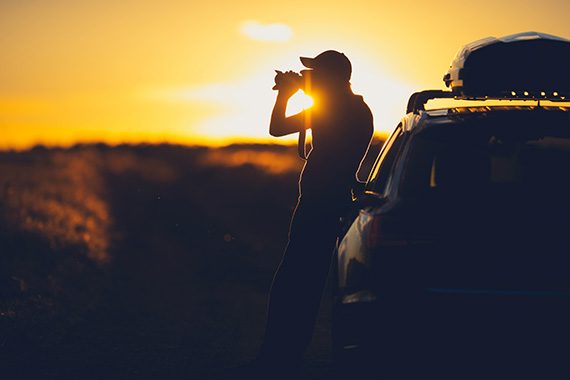
photo by Welcomia
Photo Communities
Feeling stuck? Ask fellow photographers! Two great sites for tapping into the wisdom of other photo lovers are Dreamstime and Meetup.
Dreamstime is the global community leader in stock photography and boasts over 22,000,000 members, many of which ready to share their knowledge. Struggling to find a good location? Take to the community message boards and post a thread to receive insight from photography professionals on the best places to go.
Meetup is a site where people arrange get togethers based on common interests. In addition to finding groups that specialize in photography in your area, you can look for intersecting areas that you think would make great photography subjects—gardening groups, Urban Explorers, hiking enthusiasts. Even if you never join a planned meetup, you can use the intel to find sites to explore.
Newsletters
Sign up for newsletters online that deal with your favorite areas to get some great location tips. For example, Travel + Leisure and National Geographic newsletters frequently spotlight locations prime for shooting. Love photographing animals? Sign up with your local zoo or aquarium newsletter for interesting events happening locally and around the globe. Looking for new landscape venues? Sign up for a hiking or outdoor adventure newsletter that highlights great new places to explore.

photo by Bennymarty
The Photographer’s Ephemeris
Once you have located the site for your shoot, you’ll want to determine the best angle and time of day to get the shots you want. That’s where Photographer’s Ephemeris comes in to play. Photographer’s Ephemeris allows you to enter any site by name or GPS coordinates and interactively view the area by map or satellite. Displays include sun up/down and moon rise/set times and direction and position of the sun and moon at any given time and date. Armed with this information, those golden hour photos you crave just became a lot easier to plan and achieve.
About the Author:
Karen Foley from Dreamstime is a freelance photographer, videographer and writer with a passion for travel.
Go to full article: Photography Tools to Help Find Stunning Locations
What are your thoughts on this article? Join the discussion on Facebook
PictureCorrect subscribers can also learn more today with our #1 bestseller: The Photography Tutorial eBook
The post Photography Tools to Help Find Stunning Locations appeared first on PictureCorrect.